About Takeshima

About Takeshima
Takeshima is located about 158 kilometers northwest of the Oki Islands, at latitude 37° 14' north and longitude 131° 52' east. It lies about 90 km from South Korea's Ulleungdo Island and consists of two main islets – Nishishima (or "Male Islet") rising to about 160 m and the rather low-lying Higashishima (or "Female Islet") – plus several tens of boulder islets rising from reefs.
The area amounts to 210,000 square meters – five times the size of the Tokyo Dome.
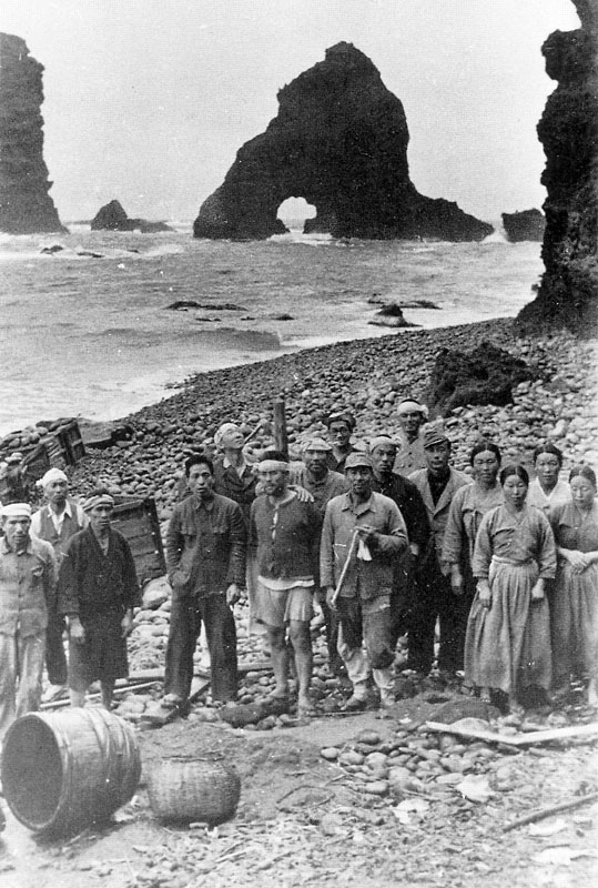
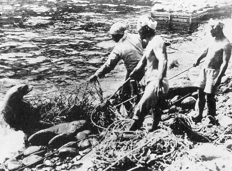
Since olden times Takeshima has been used as a transit point for Ulleungdo and as a base for catching seals and squid.
However, on January 18, 1952, South Korea's then President Syngman Rhee unilaterally drew a line in the Japan Sea and declared his nation's marine sovereignty over the waters up to that line (the "Syngman Rhee Line"). Then in 1954 he sent an armed force to garrison the islets permanently. South Korea's illegal occupation of Takeshima has continued ever since.
 |
 |
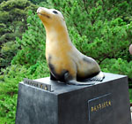
Statue of Japanese seal.Kumeji Bridge, Kumi district
 |
 |
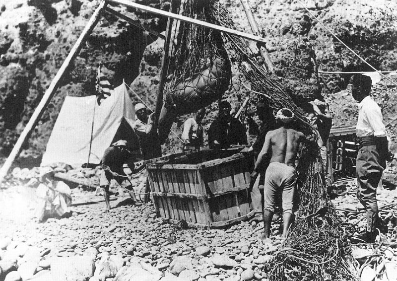 |
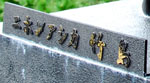
showing Oki Islands fishermen (left) and seal-catching by the fishermen (center and right).
(Click on the photos to enlarge them.)
- このページに関するお問い合わせ
- 隠岐の島町役場 総務課 広報広聴係
TEL:08512-2-8572
FAX:08512-2-6005
MAIL:kouhou@town.okinoshima.shimane.jp